Monday, December 11, 2006

24. Ben Hope (256) (P600 11) (23/08/2006)

After a wee cycle ride to get to the north coast, we decided that while here, we should climb a hill. So, as we began our drive back down to Fife, we stopped off at Ben Hope - the most northerly munro. There were quite a few people on the hill that day - at least a dozen, which was quite a surprising number for such a remote part of Scotland. There was a path all the way to the top making it quite a quick climb, but our aching legs suffered a bit from the steepness. The path went up onto a ridge, which angled up to the summit. At about two thirds of the way up we entered the cloud and then kept being confronted by false summits, which were bad for morale. Nevertheless, we made it to the top in about 2 hours and we got the impression there would be great views on a clear day. It was convenient to be able to get up and down the hill in half a day, meaning we could still get most of our driving done on that day.
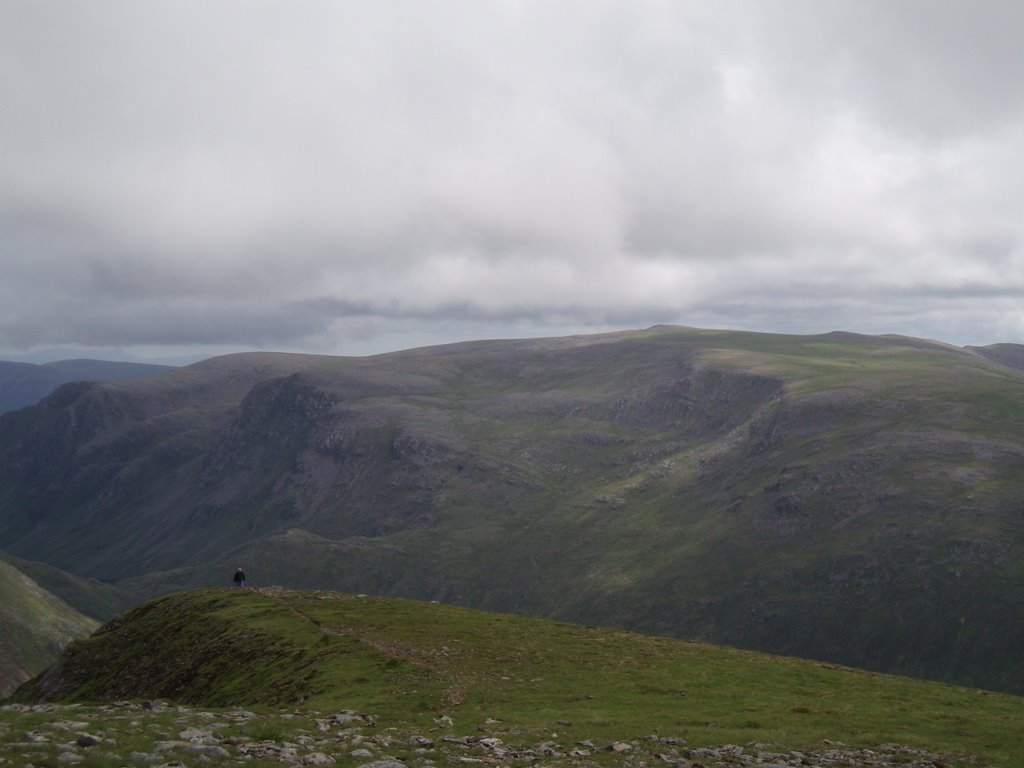
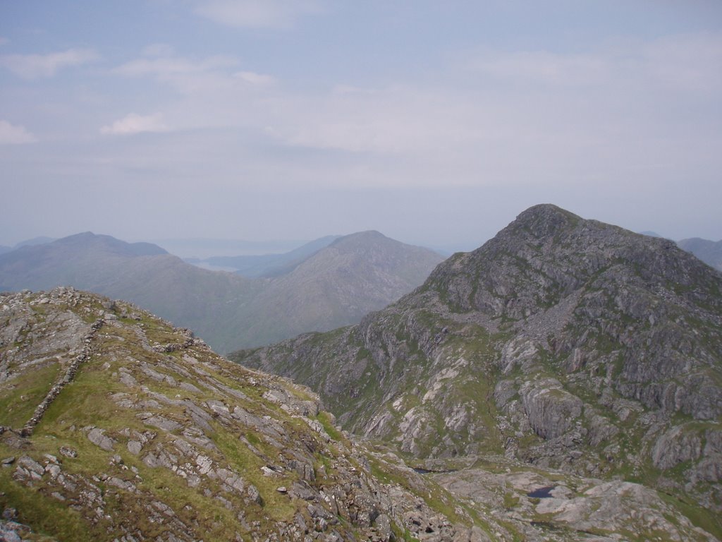
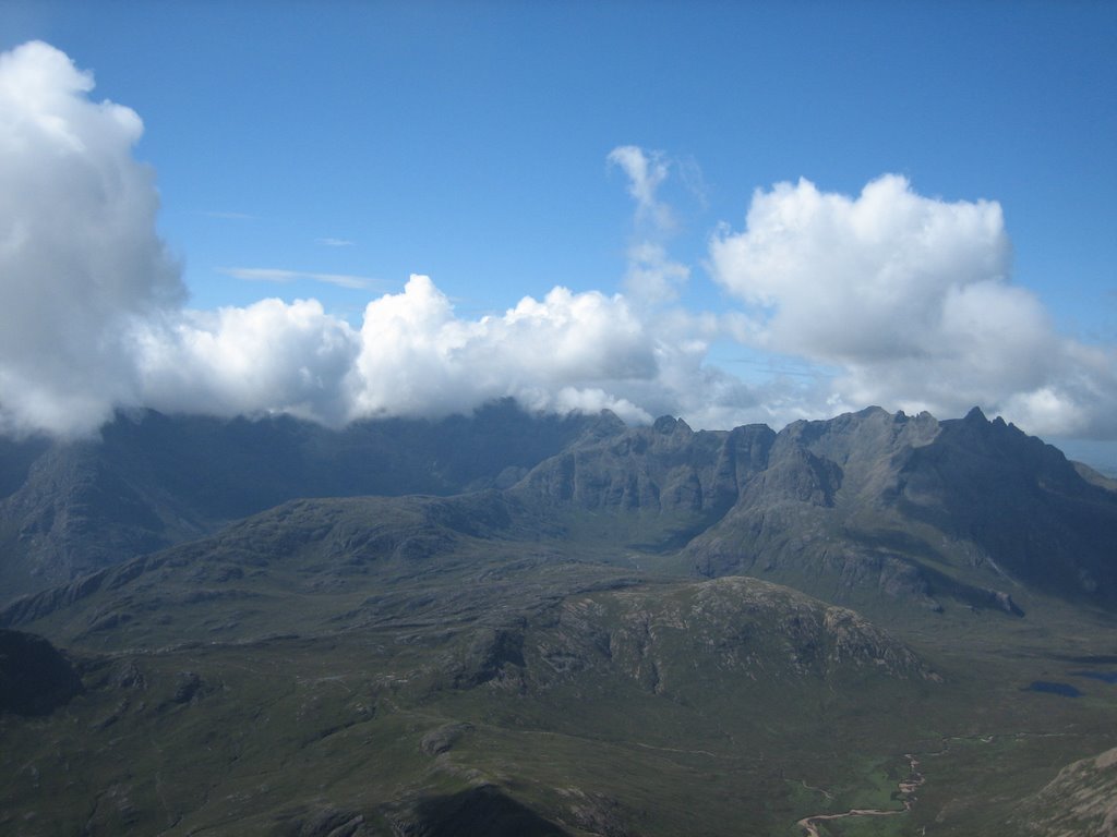
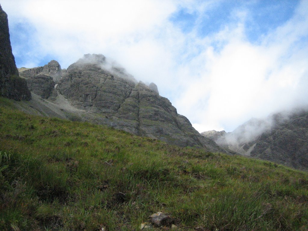
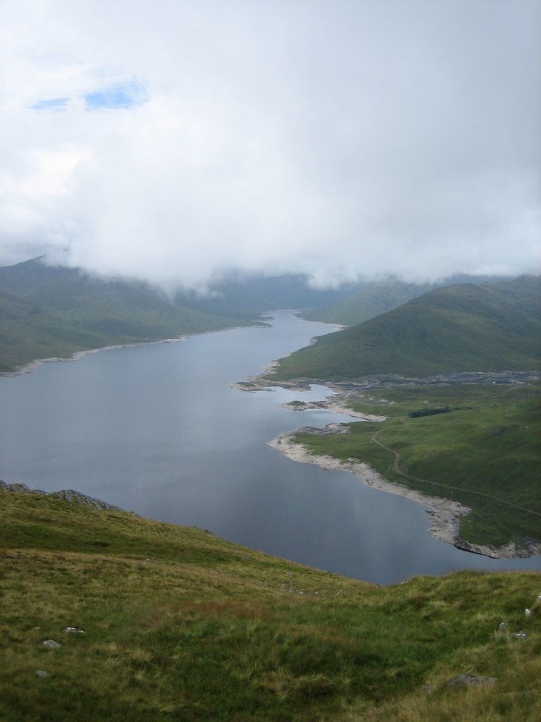
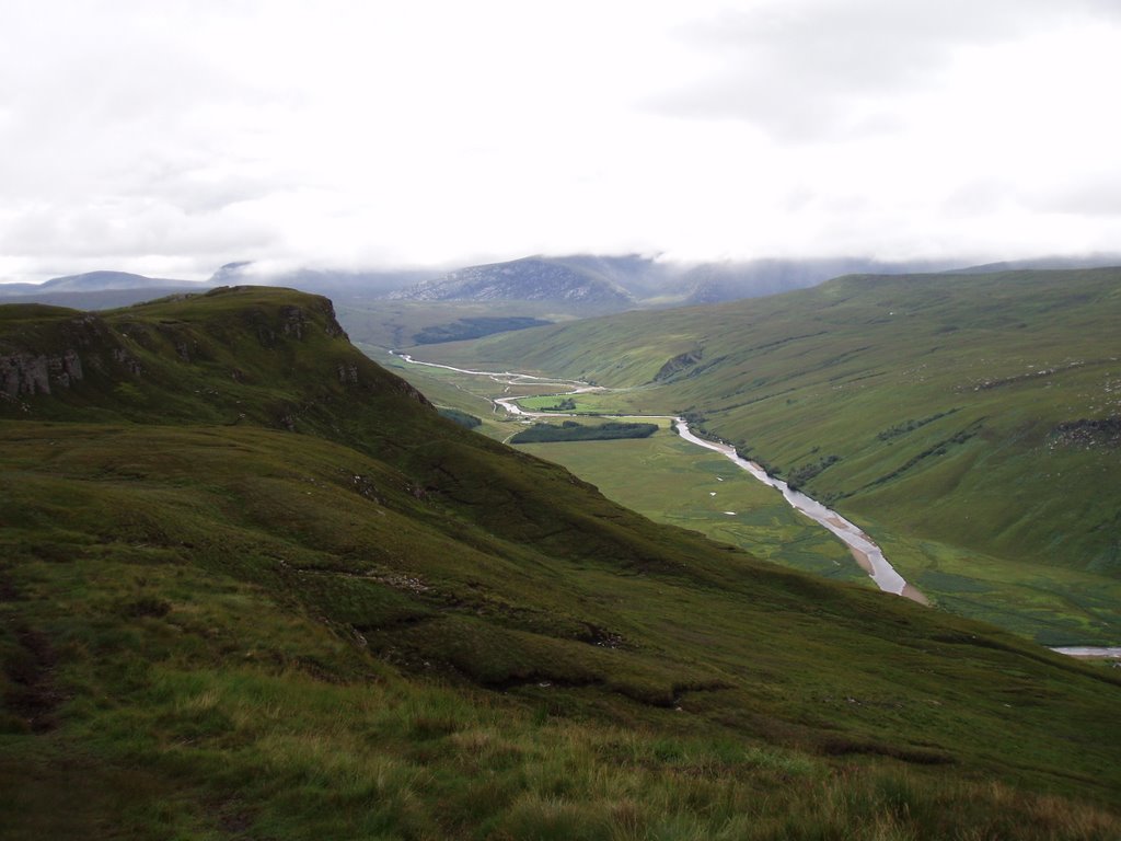
Looking back from half way up.

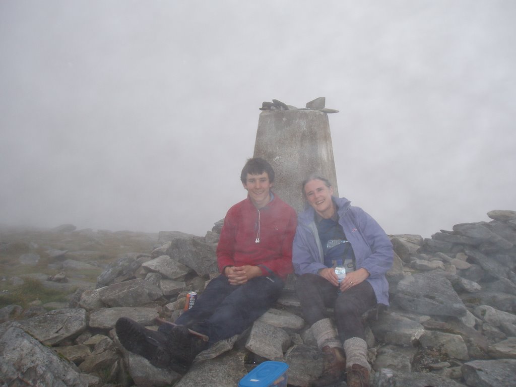
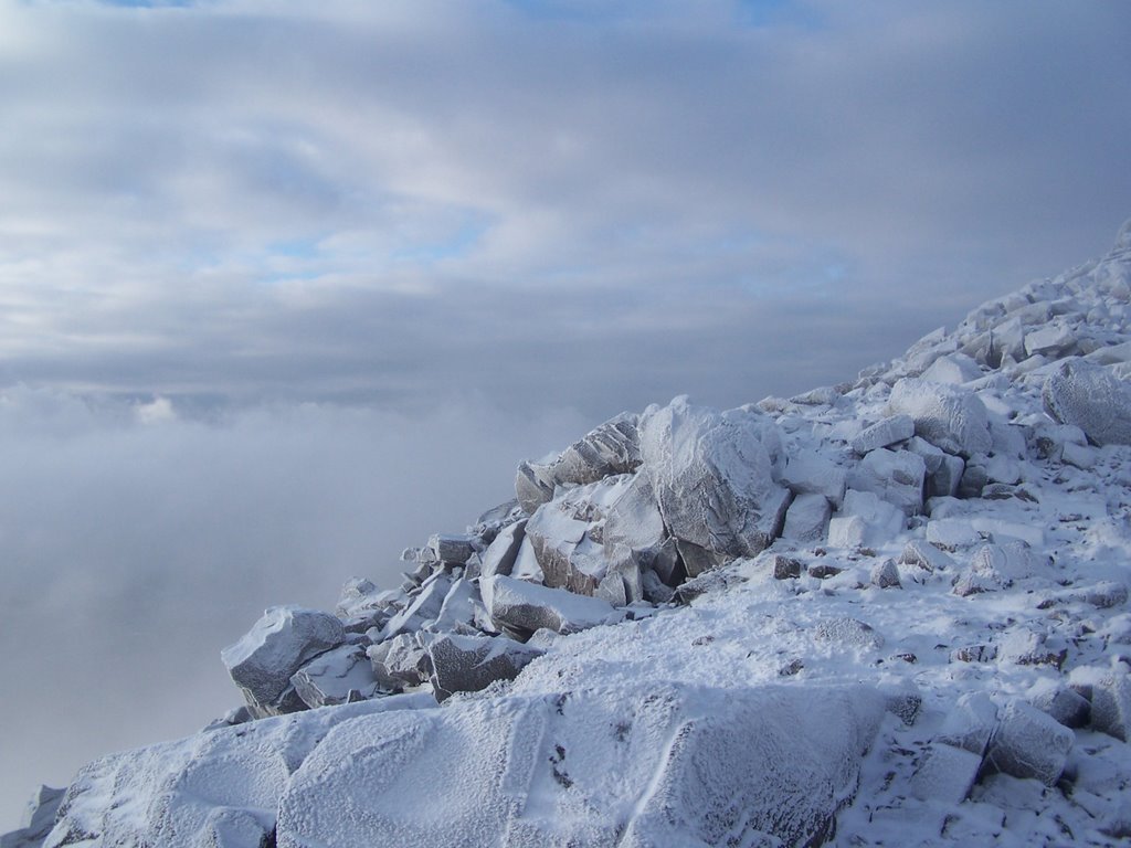
Mum and Oliver in the mist at the summit.

20-23. Carn Dearg (98), Geal-Charn (26), Aonach Beag (37), Beinn Eibhinn (48) (14/07/2006)

We were a little pessimistic about the weather when we awoke early and were breakfasting on porridge. There was thick cloud from about 500m upwards, but by the time we set off it was noticeably beginning to lift. We began the climb straight up the side of Carn Dearg, which was steep and tiring, but it eventually levelled off by the time we caught up with the cloud. We then also found a path of sorts along the ridge, which was quite handy in the mist. It was pretty cold and there was no view from the top, so we moved on. When we got to the low point before Geal-Charn, we were back out of the fog and could fully appreciate the steep sides and scramble ahead of us - it looked exciting. The narrow winding path took us up onto the plateau and we had fun trying to find the summit in the cloud with nothing to go on apart from instinct and a small scale map. We did find it and as we left, the cloud began to lift - as we made our way to the next peak we had clear views all around. We got a clearer impression of quite how extensive Ben Alder was and we could see our way along the rolling ridge ahead. Aonach Beag and Beinn Eibhinn were not far apart and we had reached the top of the fourth munro by lunch time. We paused for a while, looking down on our original route through to Ben Alder Cottage and also down to Loch Ossian, with Corrour somewhere in the distance. We could also see many peaks out to the north and had a great view back along the ridge. We trampled our way down across the heather back to the track and back to Corrour in the sunshine, easily making the train at 5pm. It had been a great expedition into the wilderness and a good introduction to hills for Christian and Ian.
Loch Ossian and Corrour from Beinn Eibhinn.
Looking back along the ridge to Aonach Beag and Geal-Charn
Through the pass to Ben Alder cottage (notice Shiehallion in the distance)

Ben Alder from the West

18-19. Ben Alder (25) (P600 10), Beinn Bheoil (112) (13/07/2006)

Three of us set our from Corrour station, the only station in Britain not to be serviced by any roads. There was a track, however, down which we travelled on the walk-in to Ben Alder. The whole of the first day, in fact, was a walk to Ben Alder Cottage, a small bothy at the foot of the mountain on the shores of Loch Ericht. The next day we carried our packs up to the bealach and left them behind a rock before scrambling our way up onto the huge summit plateau of Ben Alder, still a mile from the actual summit, which is little more than a cairn and only a few metres higher than anywhere else on the plateau. Here we really noticed the wind, almost blowing us over and cooling us down very quickly whenever we stopped. For this reason, we didn't hang around at the top, but instead made our way back to our bags and began the climb of the smaller Beinn Bheoil, by which time the wind seemed to be even higher. Christian even lost his hat, blown straight off by the wind. Afterwards we had a pleasant and sheltered walk down the other side, with a great panoramic view of the whole of the sheer side of Ben Alder. We spent the night in Culra bothy, where we met a dustman from Glasgow who had climbed all the Munros (including a favourite one 7 times) and Henry, an interesting bloke also from Glasgow who had climbed about 200 of them. Areally impressive view of Ben Alder from here:
The Ben Alder Massif from Culra Bothy Walking along the side of Ben Alder to the cottage. Ian looking back after the first part of the climb from Ben Alder cottage.

Beinn Bheoil from Ben Alder

14-17. Cruach Ardrain (87), Ben Tulaichean (220), Ben a'Chroin (233), An Caisteal (147) (8/07/2006)

I found myself with two days to kill in Crianlarich, a village with little else to it apart from the mountains and a couple of pubs. There are no fewer than 7 munros within a few miles of the Youth Hostel and several more within a day's walk. I picked two of the closer ones and, having reached the top of the second by midday, decided to strike out for two others to make a round trip. Going up through the trees on Cruach Ardain, the first munro, I nearly lost my legs a couple of times in the bogs between the trees, but once out of them there was a good rocky path to the top. It was a little cloudy, but I got pretty good views of the loftier neighbours Ben More and Stob Binyan. Beinn Tuilaichean was shrouded in mist when I got there, but on the way back from this I decided to head straight down and up the sides of the glen to Ben a'Chroin, which involved about 500m of re-ascent. At this point I also encountered a Glaswegian who had spent the night in a cave near the top of the mountain. Obviously he encouraged me to go across, but he would (being one sandwich short of a picnic himself). Anyway, I thought it was a good idea, if only to avoid the walk back through the boggy wood, but I propably ran down a bit too fast, as somewhere along the way I managed to twist my knee (which became a bit painful the following day). I even found a small path climbing one shoulder of Ben a'Chroin on the other side. This was the best of the three peaks - much rockier and steeper, with a larger plateau on top. The re-ascent to An Caisteal was good as well - a narrow stair into the mist. This part of the climb was made even more interesting as I seemed to be racing the thunderclouds to the top. I won, but it rained for most of the descent. At that point, I decided not to continue on to the 5th munro, but instead made my way back to the village and on the way met a man with whom I discussed the walk and we came to the conclusion that I had probably done over 2000m of ascent between the 4 munros.
Cruach Ardain on the ascent
Beinn Tulaichean

Ben a'Chroin and An Caisteal from the summit of Cruach Ardrain

12-13. Garbh Choich Mhor (116), Sgurr na Ciche (92) (P600 9) (5/07/2006)

The first part of today was a ridgewalk and, not having done much of it before, this seemed like an excellent ridge to walk. It was steep in places and narrow in places and rocky all the way. Garbh Choich Mhor was the highpoint of this ridge, from where we had a excellent view of our goal - Sgurr na Ciche, one of the remotest of Scotland's munros and a very sharp example of a mountain at that. From this viewpoint, there looked to be no way up short of rock climbing, even though we were supposedly facing the path up. When we descended the hidden dip before the final ascent, we left our bags and did find the narrow path which wound its way cleverly up through the scree. It was a bit of an effort in the heat of the day, being so steep, but it was a great feeling at the top - such a small area at the summit. We then descended down a stream-filled gully to the original path which winds through to inverie (the village with the pub). We had to traverse a very marshy area, which was all going fine until I uttered the fateful words 'it isn't as boggy as I'd expected' and then went in up to my thigh on the next step. We climbed the final pass into Knoydart, passing ruins of one of the many settlements that used to fill the area before the highland clearences. It was only now that the mist began to descend and the spell of good weather finally came to an end. We crossed into Knoydart in the mist and decided not to attempt another munro nearby, so we instead made camp and arrived a little damp in Inverie the next morning.
Looking back along the ridge from Sgurr na Ciche to Garbh Choich Mhor and Sgurr nan coireachan (note the large gap in the foreground)

The pinnacle of Sgurr ne Ciche

10-11. Sgurr Thuilm (193) (P600 8), Sgurr nan Coireachan (213) (4/07/2006)

After setting off from our campsite, having broken our fast on sausages, we quickly got to the top of Sgurr Thuilm and made our way down the far side, which turned out to be a bit steeper than expected and without any path. We then followed the track for a bit, through some forest until we decided to strike out for the summit of Sgurr nan Coireachan (note there are 2 hills in close proximity with the same name), having found no trace of the supposed path. We deposited our packs on the ridge and , feeling a bit lighter, nipped up to the summit before pitching our tent in the shelter of the ridge (we didn't quite have the energy to get to the other end of the ridge that evening, where the next potential campsite would be). Another good campsite and with a good view beyond the ridge of Glen Quoich.
Sgurr Thuilm taken from the ascent on the previous day.

The ridge of Sgurr Thuillm and Sgurr nan Coireachan taken

from our campsite on the second day

9. Sgurr nan Coireachan (206) (3/07/2006)

Robin and I drove up to glenfinnan, from where we began our trek into the wilderness and our missionto get to the remotest pub on mainland Britain. The weather was brilliant as we set off under the viaduct and up the glen. Our first target was Sgurr nan Coireachan at the head of the glen, part of a horseshoe ridge, on which we would be looking to camp. We made good progress along a track in the floor of the glen, then tried to ignore the midge as we began to climb - this had to be taken a little slower than usual, because of our full packs. The views were magnificent from the top and the ridge was great, although we should have taken more water up there. We found the premiere campsite in the area, flat at nearly 900m, free from midge, sheltered by the ridge and with a view back down the glen. We played cards on a rock that we suspected had never had cards played on before.

Robin at the campsite at the top of the world and the view back down Glenfinnan

Torridon (04/06)

Jo and I made attempts at a couple of Munros in the Torridon area, but were turned back by snow and high winds. We'll be back to conquer them someday.

Sunday, December 10, 2006

8. Beinn Dearg (124) (28/12/2005)

This was a good long walk into the wilderness. We picked a great day for it as well - there was snow to the east and snow to the west, but we walked in a clear patch through the middle for the whole day. There was only going to be just over 7 hours of daylight, so my brother and I set out just before first light, making our way up the long stretches of glen tilt from Bridge of Tilt. There was a really good track the whole way. We reached a bothy after about 6 miles, where we had a short break before starting the climb. We saw huge herds of deer and wildlife as we came up through the glen, being miles from civilisation. We reached the summit at about lunch time, but it was a bit too cold to stay for long. We made our way back at a bit of a hurried pace in order to catch the train at dusk. This was an excellent 18 mile round trip.

7. Schiehallion (59) (27/12/2005) (P600 7)

We managed to find a crisp and cold, but clear day in late december to climb this one. Due to the popularity of this mountain, a whole new path had been built to counter the erosion caused by the old one. It was a fairly straightforward climb really, but had a great view from the icy pinnacle that is the summit. There were some fantastic ice formations created by the frost-shattered rock and the ice crystals seeming to grow like mould over them. One can see the Lawers group to the south and the Cairngorms to the north from this vantage point. The climb took about 3 hours and the only downside was that is was quite busy, being accessible and being at a time when lots of people have holidays.

The frost-shattered summit.
Ice formations A white ptarmigan (apparently very rare)

6. Bla Beinn (252) (19/08/2005) (P600 6)

The Black Cuilin The craggy summit of Bla Beinn Looking south east from Bla Beinn A glorious day on the island of Skye and what we thought would be a nice easy mountain to climb. It wasn't too long or arduous, but there were a couple of tricky bits, making the climb more nerve-racking or more exciting, depending on your viewpoint (I'm of the latter opinion). The path lead from the car park up into a fabulous corrie, where it became indistinct, but we found it again to the north a bit higher up, on the eastern shoulder of the hill. This climbed through the scree and up a steep gulley to the higher of the twin peaks and passed some jagged buttresses of rock along the way. There was a fine panoramic view of the whole Cuillin ridge from the top and we even caught glimpses of the islands of Eigg and Rhum through the whispy cloud. The journey to the south peak was a bit tricky, with one bit where one had to edge along a ledge. Once there we made our way down the scree slopes to the south. As the mist descended, the scene became quite Tolkienesque, the razor-sharp rocks being reminiscent of Emyn Muil. Here you get the bast view of the corrie, then retrace your steps down the original path. We were then attacked by armies of midge, which had been lying in ambush by the car, but this didn't spoil what was my favourite hill so far.

4-5. Gleouraich (97) (P600 5), Spidean Malaich (146) (18/08/2005)

These were the first mountains I climbed with Jo. We had found a great B&B called Netherwood Cottage, just north of Invergarry for our base and our party consisted of 4 students (Ben, Richard, Jo and myself) fairly unused to hillwalking. We parked at the foot of Gleouraich on Loch Quoich in the fading drizzle. Since this is supposed to be the wettest area in the British Isles, we thought we were probably doing fairly well. We took the excellent path which leads up the shoulder of the mountain, which only becomes less distinct just before the final climb to the summit. When we reached the summit, it was still just covered in mist, but as we headed off it cleared completely for a time. I read that Cameron McNeish had never known a good day in this glen, despite having visited it dozens of times. Well, we must have been lucky, seeing as it was clear and dry for most of our day. The walk accross to Spidean Malaich was fairly easy and when we got there the views were excellent. As we began our descent, however, the mist and rain did arrive. The path SSW from the summit wasn't great, but got us back after some slow boggy bits. It took us 6 hours, but that was at a fairly leisurely pace.
The peak of Gleouraich from the east Along the ridge to Spidean Malaich
Loch Quoich to the west.
Loch Quoich, with the peaks in the central distance taken in 2006 from the south, on another clear day

2-3. Driesh (219), Mayar (253) (22/12/2004)

These two proved a fairly doable pair - nothing too strenuous. They lie at the end of the picturesque Glen Clova, making them accessable by car, although the road is a little tortuous. We approached Mayar first, which allowed a little more shelter on the ascent. This takes you along the start of Jock's Road, which runs right through the southern Cairngorms. In terms of the route, you turn left a mile beyond the YH, then left at the next junction. The track soon becomes a path as you ascend corrie fee, where it becomes a little steeper. There are great view from the top of the corrie, next to the waterfall, from where the path continues more gently to the summit. From here you get better views than from Driesh, since your view of the bank of Cairngorms to the NW isn't blocked. The walk over to Driesh is easy and then you come back to the saddle, from where there is a path leading north back down to the car park. The round trip took about 4hrs and was easily managed in a day trip from fife.

1. Ben Nevis (1) (23/08/2002) (P600 4)

After completing the West Highland Way, we had a day to spend near Fort William. And what better way to spend it than climbing a wee hill. Ian and I began our ascent at about 9am and were the second group of walkers to reach the top that morning. I won't mention the fact that the first group included a boy who can't have been more than about 9 and the third group ran up, checked their watches at the top, muttered '46mins - not bad' and then ran down again. Still, we were fairly pleased with ourselves, having reached the highpoint of the British Isles and perhaps inspired a desire to climb some more. (photo taken in 2006 from the NW)